China has successfully helped Pakistan launch its third remote sensing satellite of the year from a Chinese spaceport, furthering bilateral cooperation in space technology. Remote sensing satellites play a crucial role in earth observation, enabling applications ranging from agriculture to disaster management.
China helps Pakistan launch its third remote sensing satellite in 2025, boosting earth observation capabilities and bilateral space cooperation.
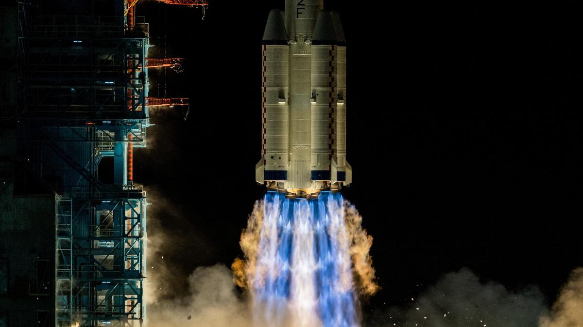
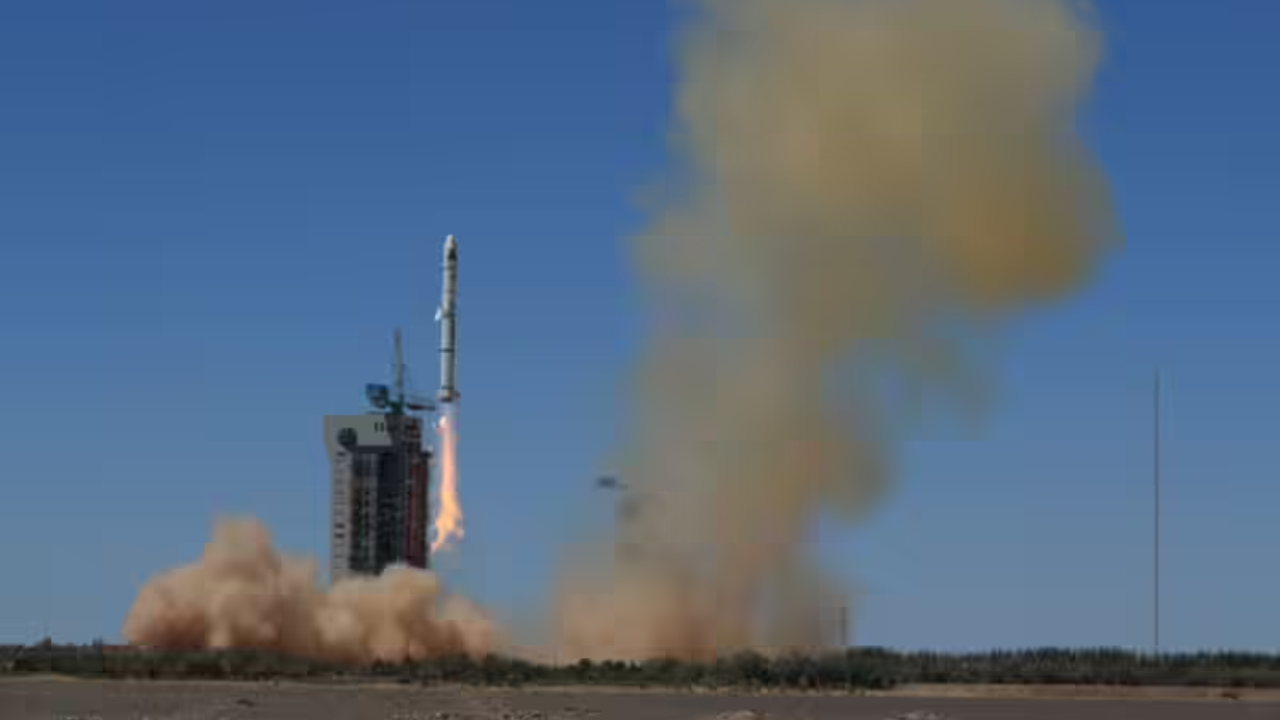
In a significant development for Pakistan’s space capabilities, China has assisted in launching Pakistan’s third remote sensing satellite this year. The satellite was successfully deployed from a Chinese spaceport on October 19, 2025, marking a continuation of the collaborative space missions between the two countries. Remote sensing satellites are vital tools designed to observe and collect data about the Earth’s surface and atmosphere, contributing to a variety of sectors including environmental monitoring, agriculture, urban planning, and disaster management.
China-Pakistan Space Collaboration
This mission is the third of its kind in 2025, showcasing the growing partnership between China and Pakistan in space technology. China has been a key supporter of Pakistan’s space ambitions, providing technological expertise, launch facilities, and satellite development assistance. The satellites typically carry advanced imaging instruments to gather high-resolution data remotely, which can be used for civilian, scientific, and strategic purposes.
The remote sensing satellite launched on October 19 joins an expanding fleet of Earth observation satellites operated by Pakistan. These satellites collect multispectral and panchromatic imagery to enable detailed analysis of land use, water resources, and vegetation health. Such data is critical for sustainable development and helps government agencies make informed decisions.
What Are Remote Sensing Satellites?
Remote sensing satellites orbit the Earth equipped with sensors that detect and measure reflected and emitted radiation from the planet’s surface. This technology provides valuable intelligence without requiring physical contact with the observed area. Applications span numerous fields:
– Agricultural monitoring: Assessing crop health and predicting yields.
– Disaster management: Tracking floods, hurricanes, and earthquakes to aid rescue operations.
– Environmental protection: Monitoring deforestation, desertification, and pollution.
– Urban planning: Mapping city sprawl and infrastructure development.
Pakistan’s Increasing Space Ambitions
The launch underscores Pakistan’s ambitions to enhance its space capabilities and expand the use of satellite technology. These efforts align with broader regional trends where countries are increasingly investing in space programs to bolster economic, scientific, and security objectives. The efficient cooperation with China provides Pakistan access to cutting-edge space technologies and reliable launch services that might otherwise be inaccessible.
A spokesperson from the Pakistan Space & Upper Atmosphere Research Commission (SUPARCO) noted, “Our partnership with China continues to strengthen our capabilities, enabling us to better serve national development goals through advanced remote sensing technology.”
China’s Role as a Regional Space Partner
China has emerged as a pivotal space partner for several countries, particularly in Asia, by offering satellite launches and technology transfers. The nation’s expanding space infrastructure and expertise enable it to assist allied countries like Pakistan in developing independent space applications, thereby fostering regional collaboration.
Conclusion
The recent launch of Pakistan’s third remote sensing satellite this year with the help of China highlights the deepening cooperation between the two nations in space technology. Remote sensing satellites remain indispensable assets for earth observation and resource management, supporting Pakistan’s developmental and strategic objectives. As this partnership continues, it is expected to bolster Pakistan’s role in space-based applications regionally and globally.