The article examines which country is geographically closest to space, explaining the criteria used to define ‘space’ and how Earth’s topography influences proximity. It highlights how specific locations around the world offer the shortest distance to the Kármán line, the internationally recognized boundary of space.
Discover which country is geographically closest to space, exploring Earth’s topography and the role of Mount Chimborazo in Ecuador.
As interest in space exploration grows globally, a popular question arises: which country is closest to space? Understanding this requires examining Earth’s topography and the definition of the boundary of space. On November 2, 2025, an exploration into the geographical proximity of countries to outer space sheds light on this intriguing subject.
Defining the Boundary of Space
Space is commonly defined by the Kármán line, situated 100 kilometers (62 miles) above Earth’s sea level. This boundary, recognized by the Fédération Aéronautique Internationale (FAI), separates the Earth’s atmosphere from outer space. However, since Earth’s surface is not flat but comprised of varying elevations, the actual distance to reach space differs depending on where one stands.
Mount Everest and Its Role
Mount Everest, located on the border between Nepal and China (Tibet region), is the highest point on Earth above sea level at 8,848.86 meters (29,031.7 feet). At first glance, it might seem the closest point to space since it is the furthest point above sea level. However, when measuring the shortest distance from Earth’s center outward, Everest is not the closest edge of Earth to space due to Earth’s equatorial bulge.
The Earth is not a perfect sphere but an oblate spheroid, meaning it bulges at the equator due to its rotation. This bulge makes areas along the equator farther from Earth’s center but closer to space in terms of radial distance from Earth’s core.
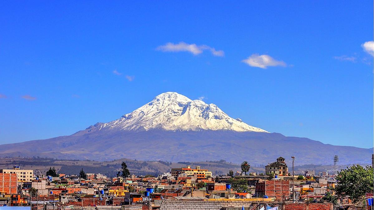
Mount Chimborazo: The Closest Point to Space
Mount Chimborazo in Ecuador is often cited as the closest point on Earth to space despite being only 6,263.47 meters (20,549.4 feet) tall, significantly lower than Everest. The reason lies in its position near the equator. Due to the Earth’s equatorial bulge, Chimborazo’s peak is the farthest point from the Earth’s center, reaching approximately 6,384.4 kilometers from the center compared to Everest’s approximately 6,382.3 kilometers.
Therefore, in terms of distance from Earth’s center to the Kármán line, Ecuador’s Mount Chimborazo is the closest point on Earth to the edge of space. This geographical fact means Ecuador is the country closest to space geographically.
Implications and Context
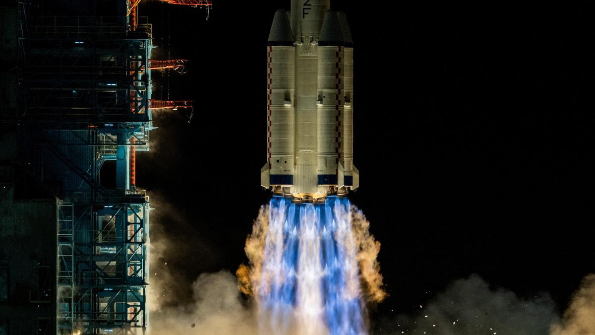
This distinction is mostly geographical and does not affect space missions directly. Rockets and spacecraft launch from various sites globally based on logistical, technological, and strategic factors, not mere proximity to space.
Raúl Pérez, a geographer specializing in Earth’s topography, explains, “While Mount Everest is the highest point above sea level, the Earth’s shape makes Mount Chimborazo the nearest point to outer space. This highlights how our planet’s rotation shapes geographical measurements in fascinating ways.”
Conclusion
Determining which country is closest to space involves understanding Earth’s shape and the definition of the space boundary. Although Nepal hosts the tallest mountain above sea level, Ecuador claims the geographic distinction of being closest to space due to Mount Chimborazo’s location near the equator. This insight illustrates the complexities of Earth’s geography and how they relate to space exploration.